|
BOGOTA
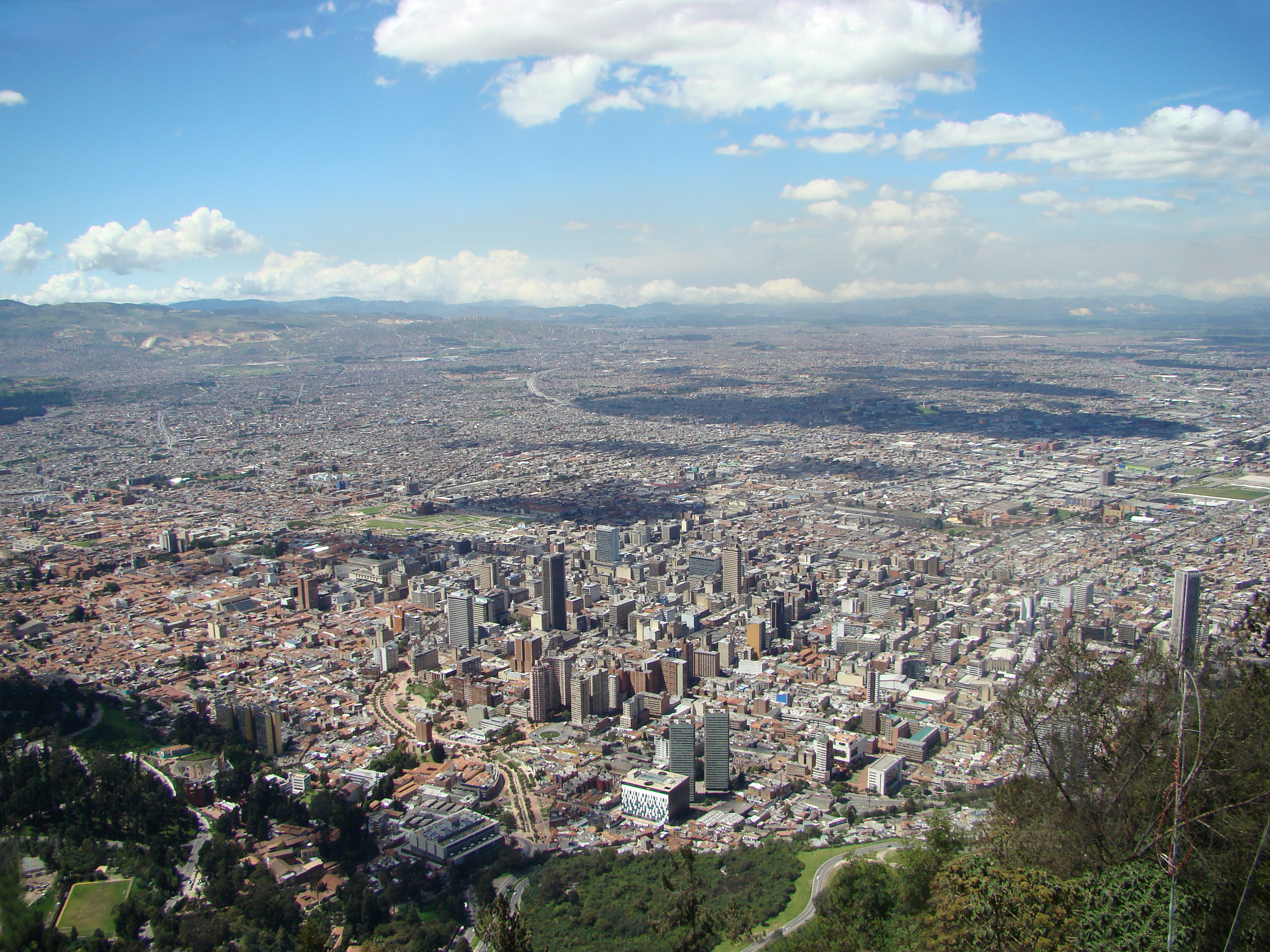
Bogota, capital of Colombia, was founded on August 6th, 1538, by Gonzalo Jimenez de Quesada. It is located east of the Sabana of Bogota, at an altitude of 2,630 meters above sea level (8,612 feet). The city's exact geographical coordinates are: 4°35′53″N 74°4′33″W. Its estimated 2011 population is 7,434,453, with an estimated metropolitan population of 9.6 million. It has an urban extension of about 35 square kilometers (13.51 square miles).
Bogota’s street grid resembles Manhattan’s (NYC), where Carreras (Avenues) run from north and south and Calles (Streets) run from east to west. Occasionally, major streets are also called Avenidas. Hence, address numbers correspond to the nearby intersection’s latitude and longitude Calle or Carrera number.
The city is divided into four zones: Historical Center, North, South and West. The Historical Center runs from Calles 5th and 34th, between Carreras 1st and 14th. This zone is home to multiple cultural and historical landmarks, and it is also where most local and national government facilities are located. The Universidad de los Andes is located in the middle-east of this zone, by the Guadalupe and Monserrate Hills. These two landforms are part of the Andes Mountains, which locals use as the quintessential orientation device. If you are facing the mountains, then you’re facing east. The Northern zone is mainly residential and retail. The Southern zone is mainly industrial and residential. In the West zone, there are government entities, residential and industrial areas, the El Dorado Internacional Airport and the main Bus Terminal.
Weather
The city's average temperature is 14°C (57°F) and it usually fluctuates between 9°C (48°F) and 22°C (72°F), during the course of the day. Being so close to the Equator, the region only has dry and rainy seasons. The driest months are December, January, February and March. The rainy months are April, May, September, October and November. August is windy.
What to wear?
Due to climate variations, it is recommended to dress in layers. During the rainy season you must carry an umbrella on your bag. Showers are often strong.
Environment
Visiting & getting around
|


